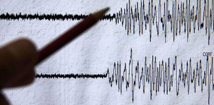
An earthquake of magnitude 6.9 struck the Banda Sea region in Indonesia on Wednesday, the European Mediterranean Seismological Centre (EMSC) said.
The quake was 370 km (229.9 miles) southeast of Ambon, Indonesia and estimated at a depth of 146 km, EMSC added.
Earlier, in January this year Indonesia was struck by a 7.6 magnitude earthquake off the Tanimbar islands, prompting panicked residents in the area to flee their homes, although a tsunami warning was lifted after three hours and reports indicated limited damage.
The Tanimbar islands are a group of about 30 islands in eastern Indonesia’s Maluku province.
At least four aftershocks were reported after the powerful quake that was also felt in some parts of northern Australia.
Indonesia sits on the Ring of Fire, a tectonic belt, about 40,000 km long and up to about 500 km wide, which circumscribes the Pacific Ocean. It contains between 750 and 915 volcanoes, around two-thirds of the world total, and 90% of the world’s earthquakes, including 81% of its largest, take place within the belt.
from International News Today - Breaking News, US News, World News https://ift.tt/jG1eLTP
via IFTTT